St. Mary’s Loch and Loch of The Lowes
St. Mary’s Loch is a large natural loch in the neighbouring Yarrow Valley. 5kms long and at points 1km wide it is a spectacular spot, beloved day trip of Innerleithen folk as well as those from all over the south of Scotland and beyond. It’s been my favourite day trip destination for decades (“lets head ower to the lochs” 😊) and has lots of interesting stories surrounding it, so here is a post telling you all about this wonder of the Southern Uplands.
Our journey around the loch starts at the north eastern end as you approach from Innerleithen. It’s 12 miles or 20 minutes’ drive from Innerleithen (though curiously there is a sign at Traquair that tells you its 13 miles to the loch!) Before you get to St. Mary’s you see it’s outflow, The Yarrow Water a tributary of the Ettrick and in turn The Tweed. The loch holds a wee secret near here – a small dam and spillway. There has been work here for many decades to control the flow of the Yarrow, initially to help with the textile industry and its need for water and now as part of the flood defence system for Selkirk, 17 miles downstream. The Southern Upland Way also passes along this end of the loch and in early summer the fields around here are host to curlew, golden plover and lapwings. You can also see on the hillside to the right large swathes of native trees regenerating, the Borders Forest Trust doing their bit to bring a flavour of the ancient Ettrick Forest to this now heavily grazed landscape. Passing the ruins of Dryhope Tower, stronghold of the famous Border family The Scott’s, a sign points the way uphill to St. Mary’s Kirkyard. This is now in ruin but there are records of religious practice in this site for more than a millennium. This Kirkyard however dates to the 12th century and is rumoured to be the Kirk O’ The (Ettrick) Forest where William Wallace was named Guardian of Scotland. I suspect that’s guff, in my experience Wallace is a bit like Mary Queen of Scots in that separating fact from fiction is tricky.

The Alluvial deposits at St. Mary’s Loch
Further on we reach the Hamlet of Cappercleuch with its couthy old, corrugated iron village hall. I love these halls – similar ones exist in Moffatdale and Ettrick and you hope that they still play an important role in the life of these isolated settlements. The route than passes the road to Tweedsmuir (a hill walkers and road cyclists paradise awaits up that road, climbing to 400m before dropping to Tweeddale) and crosses the Megget Water. The Megget is now both the outflow for the huge reservoir which flooded it’s valley in the early 1980’s, as well as the major inflow for St. Mary’s. The large flat area spreading down to the loch and carrying the Megget Water is an alluvial fan (thank you Mr Cornwall and First Year Geography). This is deposits of sediment which will (eventually!) cut the loch in two here. The building of the Megget reservoir will have slowed this process but for an idea of what it will look like you can head to the Loch of the Lowes, where the process has already happened. Heading further on we pass Rodono on the right-hand side, high above the road. This was originally a hunting lodge, then a small hotel before taking up its current guise as a private residence. The fishing hut for the St Mary’s fishing club is also nearby, Brown Trout (“Broon Troot”) and Pike the prizes here. There has been a tradition of fishing on the loch for hundreds of years. We soon arrive at the car park and the Loch of the Lowes. At times this place is bedlam, such is the popularity of the spot. A statue sits high on the hillside – James Hogg, Shepherd, author, poet and legend of these parts. It’s a fitting reminder of the stamp he left on these uplands that he has such a prominent memorial. The Glen Café is also nearby – under new ownership, I can recommend the coffee from 3 Hills in Selkirk. The Café also hosts paddleboard and kayak hire business and the success of this on the Loch of the Lowes can only be described as phenomenal these past two years! Hats off to Audrey who has worked her socks off with the estate to build this business.
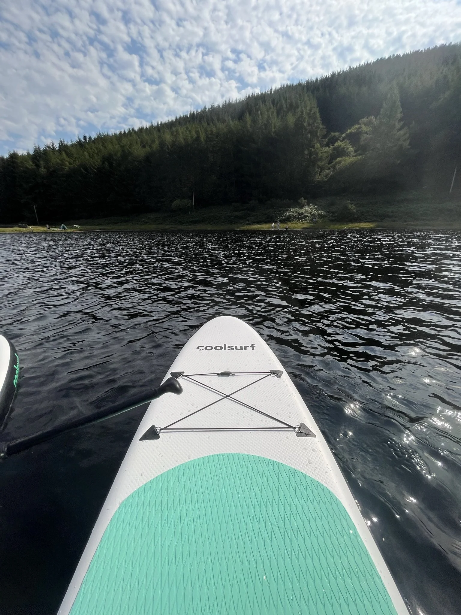
Playing about on the Lowes
The Loch of the Lowes is sometimes called St Mary’s, my wife took quite a few years to understand the distinction but if you just call the whole are “The Lochs” you’ll be fine! A small bridge takes you across the burn that links the lochs, and you arrive at Tibbie Sheils Inn. Tibbie Shiels was the proprietor back in the days when Hogg, Walter Scott, Wordsworth and Robert Louis Stevenson were among the visitors. Shiel was the wife of a molecatcher (love that detail!) and lived to the age of 95 – she now rests near Hogg in Ettrick Kirkyard. The historic inn has sadly been closed in recent years, but this season has had some limited opening hours and the hope is this will build. With the surge in visitors to The Loch post Covid you feel it could be a roaring success. We soon arrive at the sailing club, where I myself learned to sail as a Primary 6 in 1992. Suffice to say anything I picked up has long been forgotten but I am glad we were given the chance to try this thanks in large part to volunteer parents. The club hosts events from April to October and its jetty is a very popular Insta banger spot! We are now on the Southern Upland Way (a plaque at Tibbie’s confirms the coast-to-coast route was opened here by Michael Ancram MP in 1984) and after a short distance we arrive at the lovely March Wood. This feels like a remnant of the old Ettrick Forest, and it’s a quiet counterpoint to the busy Lowes – a great place for a picnic. March indicates a boundary of some sorts, it’s likely it served as the border between two estates. The Loch is currently owned by a combination of Tilhill Forestry, Wemyss & March Estate and Philiphaugh Estate. To the wanderer though this notion of ownership doesn’t come into our mind – one of Scotland’s greatest triumphs, the right to responsible access. A sculpture at the lochside was placed here by Tweed Forum in 2006 and marks the point where the loch will be eventually cut into two. We pass Bowerhope and the forested hills behind it – planted in the 1970’s and due to be harvested by 2024. You can clearly see damage wrought by Storm Arwen here. Along the track and we arrive back at the dam, near where we started. This end is now popular for camping and swimming as well, no longer holding on to it’s claim as “the locals secret”!
I hope you enjoyed this trip round The Lochs, I recommend a visit before the nights draw in too much but, really, it’s a place that is magic all year round.
